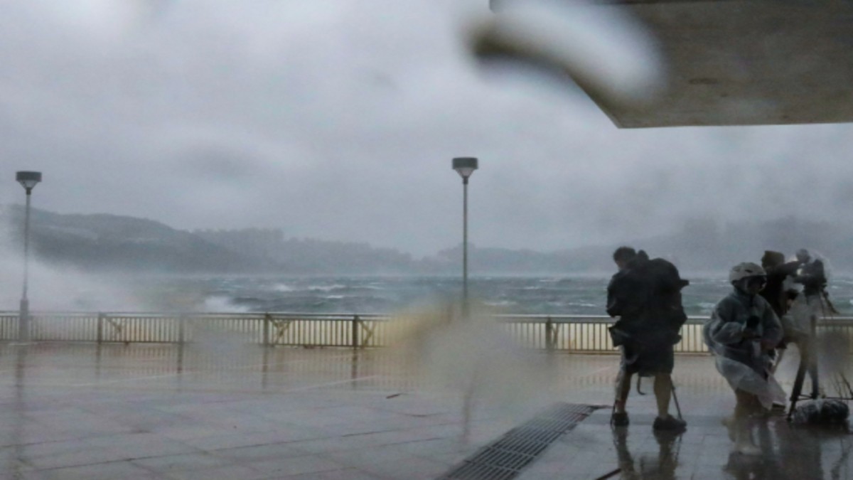
As Typhoon Wipha approached, the Hong Kong Observatory issued the highest warning, the T10 signal, on Sunday morning, citing a considerable threat to the city. The alert, activated at 9:20 am local time, signals that winds are expected to reach an average speed of 118km/h or more. The typhoon is forecast to pass approximately 50km south of Hong Kong around noon. The last time a No. 10 signal was issued was during Super Typhoon Saola in 2023, which caused widespread damage and injuries. The current storm has led to the cancellation of the Hong Kong Book Fair and over 500 flights. The public is advised to take safety precautions. If the eye of the tropical cyclone passes directly over Hong Kong, a temporary lull may occur, but this will be followed by a sudden increase in wind strength. Water levels rose to around 3 meters above Chart Datum at Tai Po Kau, and gusts surpassing 103 kilometers per hour were recorded at Tate’s Cairn. Provinces of Hainan and Guangdong are on high alert due to the storm’s impact. Wipha has already caused one injury and uprooted trees, with 214 people seeking shelter. The Airport Authority projects that some flights could resume in the afternoon. Limited service is available on several MTR lines, while some transport systems are suspended. The intensity of these tropical cyclones is linked to the warming of the seas, according to expert analysis.


